

Bariloche neighborhoods
Neighborhoods in Bariloche
Choose the address that fits the daily route. The mapped label is a starting point.
- Full source map
- 140 polygons
- All 3,684 source vertices retained.
- Selected area guides
- Eight
- Centroid markers, not property or station pins.
On this page
The short answer
This guide connects eight selected Bariloche areas with the full municipality-published map of 140 neighborhood polygons. Centro has retained rental examples, Melipal has a verified school anchor, and Playa Bonita, Coihues and Llao have named operator stops. Other areas provide explicit geographic comparisons. Comparable area rent, safety and lifestyle scores were not verified, so the areas remain unscored rather than numerically ranked.
- 140 source polygons. The full municipal snapshot remains visible.
- Eight selected guides. Different local decisions and geographic anchors.
- No fabricated scores. The numeric matcher excludes all eight unscored areas.
- Actual address. A polygon does not supply a complete daily route.
Use the full neighborhood map
Select a neighborhood to open its guide. Municipality of San Carlos de Bariloche. Published neighborhood map (opens in a new tab)
The original municipal KML contains 140 neighborhood polygons. The displayed outline combines its mapped coverage and does not claim a legal city boundary. Effective geometry dates are not supplied. Old transport geometry is excluded in favor of the current operator data.1
Start with a concrete local decision
Centro
Compare two retained Centro rental examples with the exact home and airport route 72 stop. Furnished and unfurnished offers have different entry costs.
Melipal
Use the municipal Melipal polygon and Colegio del Sol's published Pioneros address to plan the school journey. Confirm the entrance and chosen home.
Belgrano
Compare this mapped area near Centro with the specific rental entrance, hill gradient and daily destinations. The map supplies geometry, not a walking-time guarantee.
Jardín Botánico
Start with the municipality's Jardín Botánico polygon south of the city center. Test the actual school, work and grocery journeys from the proposed home.
Playa Bonita
Mi Bus route 20 lists Playa Bonita at kilometer 7.2. Compare the home-to-stop walk and current direction before choosing a Bustillo-corridor lease.
Península San Pedro
Use the municipal peninsula polygon to locate the exact address and road connection. A western-area label does not establish a direct bus stop at the home.
Villa Los Coihues
A retained two-bedroom duplex offer and route 50's Coihues stop provide concrete starting points. Check upstairs bedrooms, heating and the actual stop walk.
Llao Llao
Compare the municipality's JV Llao LLao polygon with route 20's Llao stop. Check the full journey to everyday services before committing to a western address.
Straight-line orientation only. Polygon centroids and the Georef city reference are not homes or journey endpoints.
Turn the area choice into a home check
Compare the named rental examples and the actual agreement. Select the bus section and price the winter home.
Families should confirm the actual campus. Check routine care and the full route before treating the priced subtotal as a complete budget.
Return to the Bariloche overview to connect the selected address with work, school, care and the wider arrival plan.
Questions people ask
Does the Bariloche map show only eight neighborhoods?
No. It displays all 140 neighborhood polygons retained from the municipality-published source. Eight selected areas have detailed guides and orientation markers.
Why does the Bariloche finder have no numerical area result?
Comparable local rent, safety and lifestyle scores were not verified. All eight areas remain unscored and are excluded from numerical matching. Use the factual guides and actual addresses.
What do the eight area markers represent?
They are area-weighted centroids of the retained polygons. Inner rings are subtracted where present. They are orientation points, not homes, landmarks or bus stops.
Which selected areas have specific housing examples?
Centro has retained furnished and unfurnished offers. Villa Los Coihues has a retained two-bedroom duplex. The El Frutillar budget example is a separate area outside the eight selected guides.
Which selected area has a verified Del Sol map point?
The services-map point for Colegio del Sol falls inside the retained Melipal polygon. Confirm the actual entrance, child's level and admission separately.
Which western area names appear in current bus stop data?
Route 20 lists Playa Bonita and Llao, while route 50 lists Coihues. Check the actual direction, day and home-to-stop walk.
Does the map certify a legal municipal boundary?
No. Its composite outline shows the source neighborhood coverage. The publisher does not provide a current legal-boundary certificate or effective geometry date in the retained map.
Are area rent comparison charts established for Bariloche?
No representative comparable area rent series was retained. The guide shows identified asking offers without assigning their prices to every home in the area.
Plan your move
Get a free relocation plan for Bariloche.
Answer three questions and get your tasks in order, ready to print or save.
- Answer three questions
- Get your tasks in order
- Print it or save it
Our packages are available for moves to Santiago today. For other cities, we confirm providers, requirements, and fees before you pay.
Sources and how we check them
Sources and how we check them9 sources
Every figure on this page comes from the official or primary source listed here. We checked them in . Rules and prices change, so confirm anything important with the source before you act on it.
- Municipal published transport and neighborhood map original KML (opens in a new tab)
- Official Georef Bariloche localities (opens in a new tab)
- Andrea Pena actual permanent rental detail (opens in a new tab)
- Andrea Pena actual permanent rental detail (opens in a new tab)
- Grupo Behrend actual September 7 2026 two-bedroom Villa Los Coihues rental offer (opens in a new tab)
- Colegio del Sol own bilingual early and primary offer (opens in a new tab)
- Municipality-published education and healthcare institutions original KML (opens in a new tab)
- Andrea Pena actual permanent rental detail (opens in a new tab)
- Mi Bus current route schedules public API (opens in a new tab)
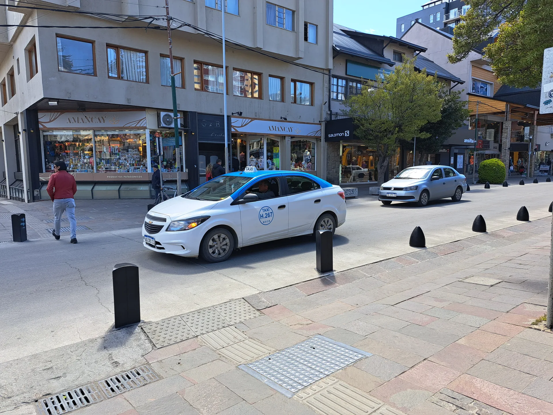
Calle Mitre, photographed in November 2023. Resized and converted to WebP. Hero photo by Raf24~commonswiki, CC BY 4.0 (opens in a new tab), from Wikimedia Commons (opens in a new tab).
Map data Municipality of San Carlos de Bariloche. Published neighborhood map (opens in a new tab).