

Bariloche neighborhoods/playa bonita
Playa Bonita neighborhood guide
A named Bustillo stop helps plan the trip. Check the actual home-to-stop connection before the lease.
- Map orientation
- 7.7 km
- Straight-line centroid to Georef city reference. Not travel distance.
- Source
- Municipal map
- Effective geometry date and legal status are not established.
On this page
The short answer
Playa Bonita has a named municipal polygon and a specific stop in Mi Bus route 20 at kilometer 7.2. That gives a practical transport anchor for an address search along the Bustillo corridor. The source does not establish every home's stop walk, fare section, travel time or rent. Compare the exact address with your central destinations and school or care needs before committing.
- Municipal source polygon. The map is retained with its original geometry.
- Unscored area. Rent, safety and lifestyle rankings are not invented.
- Address before label. Check the actual home and everyday destinations.
Is Playa Bonita a good place to live?
Mi Bus route 20 lists Playa Bonita at kilometer 7.2 between its central and western corridor stops. Read the actual service day and direction. Do not infer the correct fare section from the stop name.3,
Pros2
- Named operator stopRoute 20 explicitly lists Playa Bonita at kilometer 7.2.
- Retained polygonThe municipal map identifies the selected area.
Cons2
- Route still needs testingThe actual home-to-stop walk is not measured.
- Costs unverified by areaNo representative Playa Bonita rent or utility average is established.
Locate the actual home
| Reference | Meaning |
|---|---|
| Municipal map label | Playa Bonita |
| Area marker | Area-weighted source polygon centroid |
| City-reference separation | 7.7 km, straight line |
Test both the central journey and the return from the chosen Playa Bonita home. A lake-area description does not establish a usable evening connection or access to every service.
Compare the ordinary routine
Compare Melipal and the full navigable map before narrowing the address. Read the actual housing offer and confirm the contract terms.
Use the correct stop, direction and fare. Request winter bills and check the care journey. Confirm school admission where applicable, then audit the full route.
Questions people ask
Is Playa Bonita a good place to live in Bariloche?
Choose Playa Bonita only when the actual home-to-stop connection and ordinary destinations work. A named stop is useful evidence, not a complete commute.
Which bus names Playa Bonita in the retained response?
Route 20 explicitly lists Playa Bonita at kilometer 7.2. Confirm the actual day, direction and stop you will use.
Does Playa Bonita automatically use the section-I fare?
No. The operator has section-specific tariffs. Confirm the actual trip section rather than applying the cheapest category from the city table.
Is the Playa Bonita marker a bus stop?
No. The guide marker is the municipal polygon centroid. The route-20 stop is a separate operator reference.
Does a Playa Bonita address guarantee a central journey time?
No door-to-door time is retained. Test the stop walk, departure and actual destination rather than converting straight-line distance into minutes.
Is a current Playa Bonita neighborhood safety rate established?
No comparable current area-level crime rate was verified. Inspect the actual entrance and routine, and avoid deriving safety from the geographic label.
How far is the Playa Bonita map marker from the city reference?
7.7 km in a straight line. It compares a polygon centroid with the Georef city reference, not the home's road distance or travel time.
Should I compare Playa Bonita with Melipal before signing?
Compare the exact homes and ordinary destinations. The two source polygons supply geographic orientation, while the chosen rent, bills, stop and service arrangements need their own evidence.
Plan your move
Get a free relocation plan for Bariloche.
Answer three questions and get your tasks in order, ready to print or save.
- Answer three questions
- Get your tasks in order
- Print it or save it
Our packages are available for moves to Santiago today. For other cities, we confirm providers, requirements, and fees before you pay.
Sources and how we check them
Sources and how we check them4 sources
Every figure on this page comes from the official or primary source listed here. We checked them in . Rules and prices change, so confirm anything important with the source before you act on it.
- Official Georef Bariloche localities (opens in a new tab)
- Municipal published transport and neighborhood map original KML (opens in a new tab)
- Mi Bus Bariloche current original fare API (opens in a new tab)
- Mi Bus current route schedules public API (opens in a new tab)
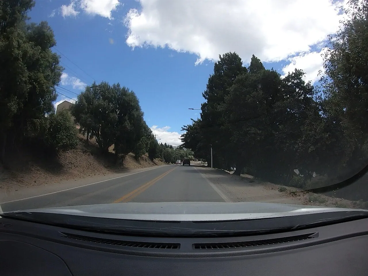
Street photographed inside the published Playa Bonita polygon in January 2023. Actual 1280-pixel publisher rendition, resized and converted to WebP. Hero photo by martinvilu, CC BY-SA 4.0 (opens in a new tab), from Wikimedia Commons (opens in a new tab).
Map data Municipality of San Carlos de Bariloche. Published neighborhood map (opens in a new tab).