

San Martín de los Andes relocation guide
Days out from San Martín de los Andes
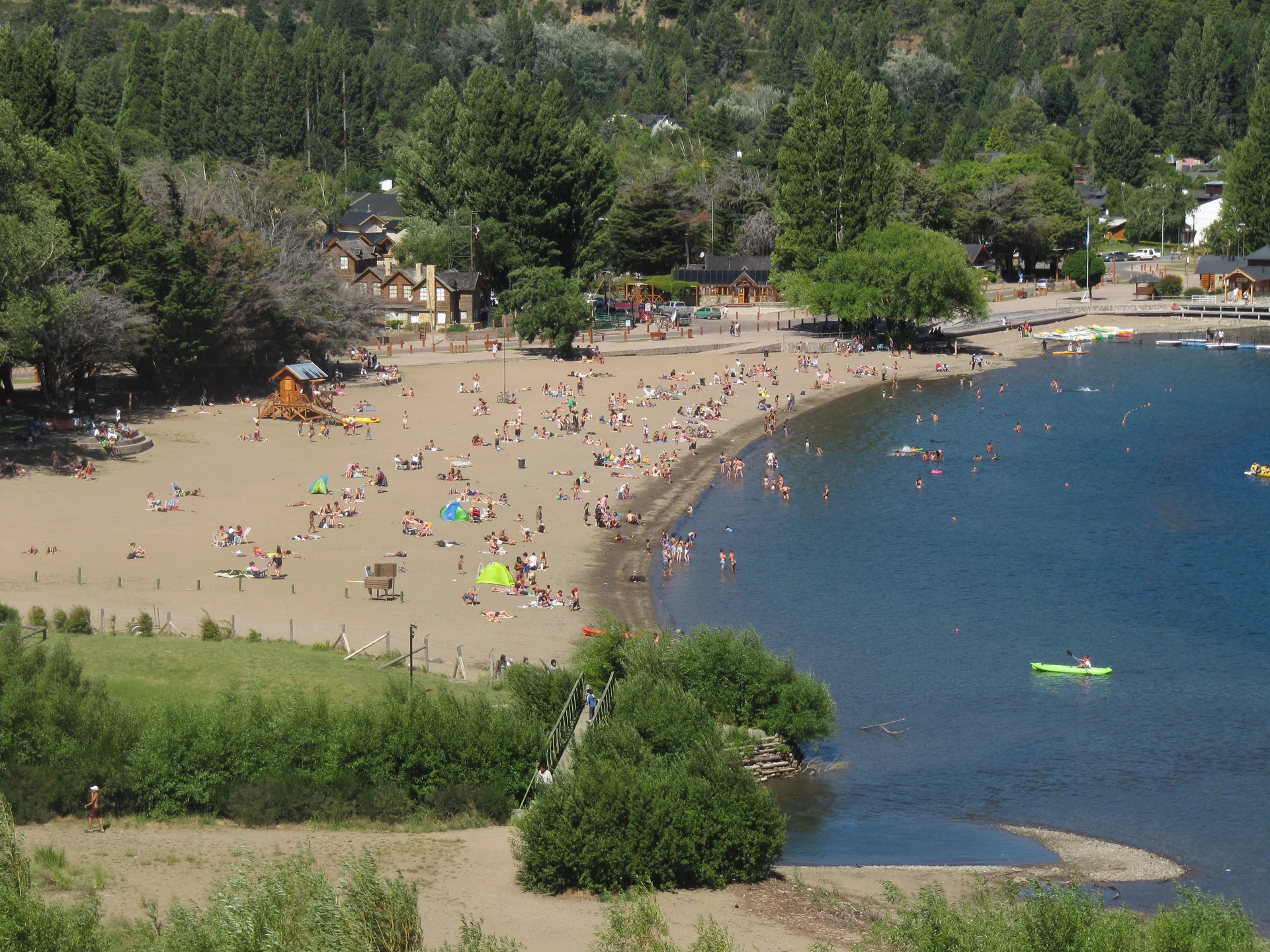
Lago Lácar is beside town. Bandurrias, Quila Quina, Lolog and Hua Hum offer separate nearby routes with their own access checks.
On this page
The short answer
San Martín de los Andes opens onto Lago Lácar, with nearby viewpoints and lake circuits listed by the municipal tourism office. Lanín National Park identifies Bandurrias, Quila Quina, Lolog and Hua Hum within its southern area. Choose the actual route, then check current access, weather and registration before leaving town.
- Keep the city waterfront separate from longer regional trips.
- National Parks requires registration for walking routes and the Lanín ascent.
- Quila Quina and Hua Hum use different access roads.
- Chapelco lies outside Lanín National Park jurisdiction.
Choose a route that fits the day
Waterfront and nearby viewpoints
The municipal tourism site places the city beside Lago Lácar and lists nearby viewpoints and beaches. National Parks lists Bandurrias among southern-zone walking routes. Ask the tourism office or park for the current route and access conditions.1,
Separate lake and park circuits
| Place or circuit | Access described by National Parks |
|---|---|
| Quila Quina | RN 40 to the Quila Quina access road |
| Hua Hum and Chachín | RP 48 followed by a park road toward Chachín |
| Siete Lagos | RN 40 toward Villa La Angostura |
| Lolog | Part of the southern park lake area |
Source 1
Chapelco is outside Lanín National Park jurisdiction. National Parks describes access by RN 40 and RP 19. Ask the actual operator about seasonal opening and the activity you plan.1
Registration and conditions
National Parks requires prior registration for walking and the Lanín ascent. It also tells visitors to consult information centers or rangers because conditions vary. The Lanín ascent is a separate difficult mountain activity, not a casual city walk. Ask about the specific route and equipment before committing.1
Questions people ask
What can I explore close to town?
Start with Lago Lácar and the nearby viewpoints listed by municipal tourism. Check the actual route and current conditions before leaving.
Do I need to register for a park walk?
National Parks says walking routes require registration. Use the official registration and check the specific route with the park.
How are Quila Quina and Hua Hum reached?
National Parks describes Quila Quina access from RN 40, while Hua Hum uses RP 48 and a park road toward Chachín. Confirm current road conditions and your return arrangements.
Is Chapelco inside Lanín National Park?
National Parks explicitly places Chapelco outside its jurisdiction. It describes access by RN 40 and RP 19. Ask the operator about current seasonal opening.
Can I assume listed activities are open today?
Check with the park, tourism office or actual operator. Current access, weather, charges and service schedules need confirmation.
Plan your move
Get a free relocation plan for San Martín de los Andes.
Answer three questions and get your tasks in order, ready to print or save.
- Answer three questions
- Get your tasks in order
- Print it or save it
Our packages are available for moves to Santiago today. For other cities, we confirm providers, requirements, and fees before you pay.
Sources and how we check them
Sources and how we check them3 sources
Every figure on this page comes from the official or primary source listed here. We checked them in . Rules and prices change, so confirm anything important with the source before you act on it.
- National Parks, Lanín activities and geographic zones (opens in a new tab)
- San Martín tourism, Lago Lácar and city location (opens in a new tab)
- San Martín tourism, local and regional outings (opens in a new tab)
Lago Lácar beach in San Martín de los Andes. Commons dates the photo to January 29, 2011; camera metadata gives January 29, 2010. Resized and converted to WebP. The social preview is cropped and converted to PNG. Hero photo by Nsimean, CC0 (opens in a new tab), from Wikimedia Commons (opens in a new tab).