

Pilar relocation guide
Where to live in Pilar | Addresses and daily travel
Start with the full address and daily destinations. The Rivadavia apartments, historic plaza and school campus give specific places to compare.
On this page
The short answer
Pilar city and the wider municipality share a name. An address in another town or a private development can mean a different daily journey. The two Dalmao apartments are advertised on Rivadavia. Compare those locations with the school, hospital, shops and work destinations you actually need.
- Confirm the town, street and unit.
- Try the full daily journeys.
- Compare daily journeys from each home.
Choose by the destinations you need
Central street context
The map shows selected streets, parks and water around central Pilar. It does not draw city or neighborhood borders, or train and bus routes. Use the operator's separate timetable for rail travel.2,
Useful places to compare
| Place | Published location | Why it matters |
|---|---|---|
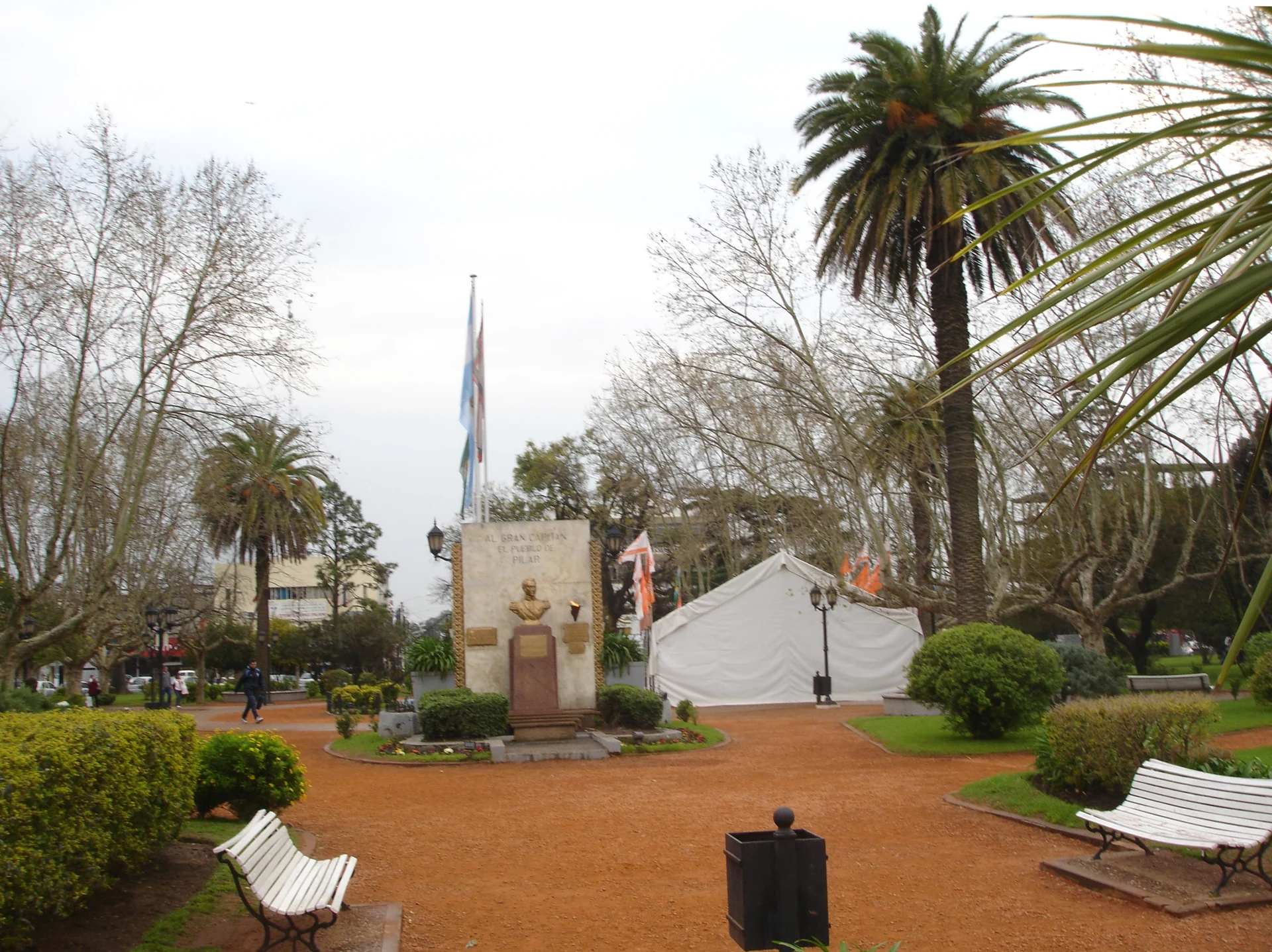
| Plaza 12 de Octubre | Lorenzo López, San Martín, Rivadavia and Hipólito Yrigoyen | Historic-center reference. |
| Dalmao apartments | Rivadavia 400, including studio unit 2A | View the specific home and compare its complete terms. |
| Instituto Verbo Divino | Route 25 and Panamericana, Pilar branch, km 53 | Check the actual campus and school journey. |
| Hospital Sanguinetti | Victor Vergani 860 | Confirm treatment, registration and the journey. |
If you travel to Buenos Aires often
The published Monday through Saturday train 3328 takes 97 minutes from Pilar to Retiro. Add the journey to the station, waiting and your onward connection. Try your normal workday trip before signing a lease around that commute.1,
Questions people ask
Does Pilar in an advertisement always mean the city center?
No. The municipality includes other towns. Ask for the full town, street, unit and location before arranging the viewing.
Which Pilar neighborhood is safest?
This guide does not rank neighborhood safety. Visit the full address at the times you expect to use it and ask current residents about the immediate surroundings.
Does the map show passenger rail routes?
No. It shows street, park and water context. Check Trenes Argentinos for the San Martín passenger timetable and current notices.
Plan your move
Get a free relocation plan for Pilar.
Answer three questions and get your tasks in order, ready to print or save.
- Answer three questions
- Get your tasks in order
- Print it or save it
Our packages are available for moves to Santiago today. For other cities, we confirm providers, requirements, and fees before you pay.
Sources and how we check them
Sources and how we check them10 sources
Every figure on this page comes from the official or primary source listed here. We checked them in . Rules and prices change, so confirm anything important with the source before you act on it.
- Trenes Argentinos timetable, June 22, 2026 (opens in a new tab)
- Trenes Argentinos, San Martín line (opens in a new tab)
- Trenes Argentinos, San Martín line (opens in a new tab)
- Instituto Verbo Divino contacts (opens in a new tab)
- Dalmao, Rivadavia 400 studio advertisement (opens in a new tab)
- Municipality, Hospital Sanguinetti (opens in a new tab)
- National Georef geographic identities (opens in a new tab)
- OpenStreetMap geometry and reuse license (opens in a new tab)
- Dalmao, Rivadavia 400 one-bedroom advertisement (opens in a new tab)
- National Monuments Commission, Pilar plaza and church (opens in a new tab)
Plaza 12 de Octubre in Pilar, photographed in September 2012. Resized and converted to WebP. Hero photo by Fullones, CC BY-SA 3.0 (opens in a new tab), from Wikimedia Commons (opens in a new tab).
Map data © OpenStreetMap contributors, ODbL (opens in a new tab).