

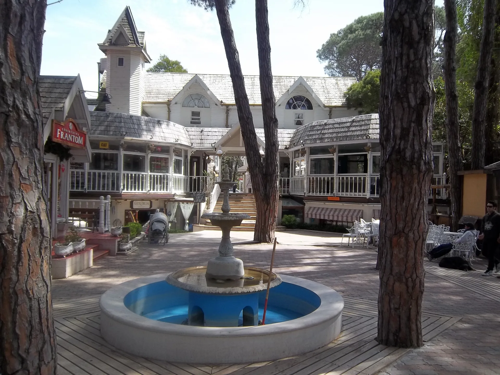
Cariló neighborhoods
Cariló neighborhoods and address choices
Compare houses by their address, condition and daily journeys. Use the municipal map for parcels and planning rules.
- Area rankings
- Not supplied
- No comparable area rankings here.
- Parcel map
- Municipal COU
- Municipal parcels and zoning.
- Town point
- Georef
- A marker for the locality.
- Landscape
- Law 12099
- Separate legal extent.
On this page
The short answer
Start your Cariló home search with an exact address. The municipal COU map shows parcels and planning zones. It is useful for property questions, but it is not a residential-neighborhood map. This guide has no comparable neighborhood rent or safety rankings. Buenos Aires Law 12099 Article 1 defines protected-landscape limits, which are separate from residential boundaries. Check the house, services and required journeys directly.
- Exact address. Compare the selected house and daily routes.
- Municipal COU. Use the parcel and zoning map for property questions.
- Law 12099. Protected-landscape limits do not define residential neighborhoods.
How should you choose where to live?
Open Pinamar's municipal COU map (opens in a new tab) to identify parcels and planning zones. Use the exact property address when asking the municipality about its permitted use or proposed works.1,
| Reference | What it shows | Limit |
|---|---|---|
| Georef Cariló locality | A representative locality point | Does not define residential boundaries |
| Municipal COU layer | Parcel and zoning geometry | Does not rank lifestyle or safety |
| Law 12099 Article 1 | Protected-landscape description | Separate from a town or neighborhood perimeter |
Understand the protected landscape's limits
Law 12099 Article 1 describes RP 11 to the west, the Atlantic Ocean to the east, Corbeta Agradable and Sequoia to the north, and Av. Constancia to the south. These protected-landscape limits do not locate a rental entrance or confirm permission for work at a house.6
Identify the parcel
Get the full property address and find its municipal parcel information.
Inspect the house
Check condition, heating, drainage, entrances and required services.
Test the routes
Try the journeys to school, care, shops or your workspace.
Obtain the terms
Confirm permitted use, payment period, occupants and maintenance responsibilities.
Compare the advertised properties and get lease terms in writing.
Choose around your household's needs
Check household services, transport and physical access. Confirm any school place and try the journey to care before choosing the house.
Questions people ask
How should I compare homes in Cariló?
Start with each address, house condition, services and daily journeys. This guide has no comparable neighborhood rent or safety rankings.
What can I use the municipal COU map for?
Use it to identify parcels and planning zones, then ask the municipality about the property. It is not a residential-neighborhood map.
Does the town's map marker locate a particular home?
No. It is a representative point for Cariló. Use the property's exact address and municipal parcel information when arranging a viewing.
What are the protected landscape's western and eastern limits?
Law 12099 Article 1 identifies RP 11 to the west and the Atlantic Ocean to the east. These are protected-landscape limits, rather than residential-neighborhood boundaries.
What are the protected landscape's northern and southern limits?
Article 1 describes Corbeta Agradable and Sequoia to the north, and Av. Constancia to the south. This legal extent is separate from an urban or residential perimeter.
How do I compare rental prices between addresses?
Ask each agent for the billing period, permitted use and full charges. The permanent-use example here has no explicit billing period, so it cannot establish monthly rent.
What safety questions should I ask about a house?
Inspect the property and street, and ask about relevant flood, fire and terrain risks. Parcel and zoning maps do not assess those hazards or neighborhood crime.
How many people live in Cariló?
A separate Cariló count is not confirmed here. INDEC's 39,449 residents refer to the Pinamar local government in 2022, rather than Cariló alone.
Plan your move
Get a free relocation plan for Cariló.
Answer three questions and get your tasks in order, ready to print or save.
- Answer three questions
- Get your tasks in order
- Print it or save it
Our packages are available for moves to Santiago today. For other cities, we confirm providers, requirements, and fees before you pay.
Sources and how we check them
Sources and how we check them6 sources
Every figure on this page comes from the official or primary source listed here. We checked them in . Rules and prices change, so confirm anything important with the source before you act on it.
- Pinamar municipal parcel and zoning geometry (opens in a new tab)
- Pinamar municipal COU interactive map (opens in a new tab)
- Garro Codorniz 68 permanent-use rental advertisement (opens in a new tab)
- INDEC Census 2022 Pinamar local-government table (opens in a new tab)
- Georef official Cariló locality record (opens in a new tab)
- Buenos Aires Law 12099 current text (opens in a new tab)
Fountain in Cariló commercial center, photographed in October 2011. Current shop hours and individual addresses need separate checks. Resized and converted to WebP. Hero photo by Dario Alpern, CC BY-SA 3.0 (opens in a new tab), from Wikimedia Commons (opens in a new tab).