

Villa de Merlo relocation guide
Where to live in Villa de Merlo
Use the area names to organize viewings. Choose the actual block after the school, care, water and daily return work.
On this page
The short answer
Choose a Villa de Merlo area by putting essential destinations on the same plan. The historic center, northern Piedra Blanca, Rincón toward the hills and southern Cerro de Oro provide different search starting points. Their tourism descriptions help orient you, but they do not settle the home's water, connection, access or school run. Compare actual addresses during an ordinary working week.
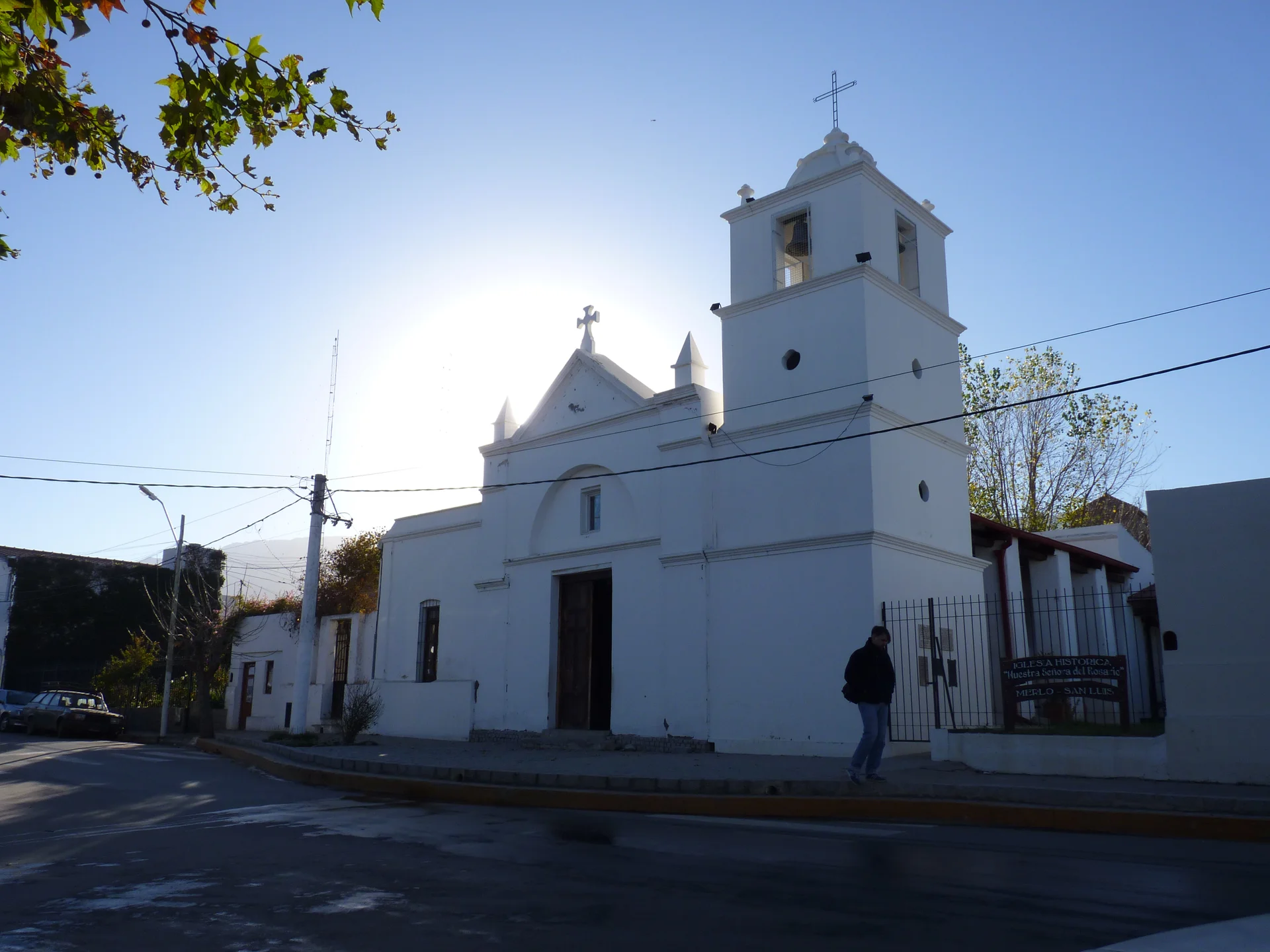
- The historic center includes the plaza and Rosario chapel.
- Piedra Blanca has Arriba and Abajo sectors.
- Cerro de Oro lies south; the serrano circuit passes through Rincón.
- The map omits city and neighborhood boundary polygons.
Our take
Use these source-named starting points
| Area | Published place context | Housing decision |
|---|---|---|
| Historic center and Avenida del Sol | Rosario chapel, Plaza Marqués de Sobremonte, crafts and commercial corridor | Try ordinary errands, noise, parking and the actual bus stop. |
| Piedra Blanca | Northern area divided into Arriba toward the hills and lower Abajo. Cultural places include Casa del Bicentenario. | Specify the sector and entrance. Test the school, CAPS and return journey. |
| Rincón and serrano corridor | Tourism circuit follows Avenida de los Césares through Rincón toward reserves and viewpoints. | Inspect gradients, daily travel, water and address-level connection. |
| Cerro de Oro | Southern area with plaza and producer fair on Camino del Cerro. CAPS listed at number 966. | Try the care and errand journey, rather than assuming the center routine fits. |
| Chumamaya 1565 rental anchor | Three selected annual offers in one complex, with household and use restrictions. | Confirm the actual unit, allowed occupants, meters and complete contract. |
Compare the whole week at each address
Locate essentials
Use the actual school, treatment, workplace and regular errands.
Try the route
Make both outward and return journeys at normal times.
Inspect the block
Check gradients, drainage, crossings, lighting and gate access.
Confirm services
Ask about the home's water, meter arrangement, power and internet installation.
Compare the quote
Include shared charges, equipment, adjustment and repeated travel.
A primary care center in an area gives you a contact, not a guarantee that it provides the treatment you need. A bus destination gives orientation, not proof of a useful stop at every home. Resolve both before committing.2,
Use the map as central street context
See the whole area. Enlarge for labels and details.
The map shows selected original OpenStreetMap roads, waterways and parks in a central frame. City and neighborhood boundary polygons are omitted. It does not cover the whole municipality or assess access, crime, transit service or travel time.9
Questions people ask
Which area should I choose first?
Start with your essential school, care and work destinations. Compare actual homes around those journeys before choosing by scenery or area name.
What is the difference between Piedra Blanca Arriba and Abajo?
The official circuit describes Arriba nearer the hills and Abajo in the lower sector. Specify the actual address and test its access and daily journeys.
Does the map show official neighborhood boundaries?
No. It provides selected central street context from original OSM geometry. City and neighborhood boundary polygons are omitted.
Is one area verified as safest or cheapest?
No numerical neighborhood ranking is established. Compare the actual block, full home quote, service arrangement and repeated journeys.
Plan your move
Get a free relocation plan for Villa de Merlo.
Answer three questions and get your tasks in order, ready to print or save.
- Answer three questions
- Get your tasks in order
- Print it or save it
Our packages are available for moves to Santiago today. For other cities, we confirm providers, requirements, and fees before you pay.
Sources and how we check them
Sources and how we check them10 sources
Every figure on this page comes from the official or primary source listed here. We checked them in . Rules and prices change, so confirm anything important with the source before you act on it.
- Villa de Merlo official tourism circuits and local areas (opens in a new tab)
- Villa de Merlo emergency contacts and primary care centers (opens in a new tab)
- Official tourism Villa de Merlo local transport guidance (opens in a new tab)
- Villegas Chumamaya 1565 one-bedroom permanent rental (opens in a new tab)
- Villegas Chumamaya 1565 unit 3 two-bedroom annual rental (opens in a new tab)
- Villegas Chumamaya 1565 unit 12-D two-bedroom annual rental (opens in a new tab)
- Merlo water cooperative connection, tenant and holder procedures (opens in a new tab)
- Merlo San Luis telephone cooperative fiber and ADSL service (opens in a new tab)
- Original central Merlo OpenStreetMap nodes and ways (opens in a new tab)
- National GeoRef Merlo San Luis locality identity (opens in a new tab)
Historic Nuestra Señora del Rosario chapel, photographed June 25, 2012. Historical place context, not a current access, development or condition report. Hero photo by Carina L. Staiti, CC BY-SA 3.0 (opens in a new tab), from Wikimedia Commons (opens in a new tab).