

Pinamar relocation guide
Where to live in Pinamar | Streets and daily travel
Compare the exact address with school, care, shops and beach access. Pinamar city is part of a wider coast with separately named towns.
On this page
The short answer
The municipal tourism map shows Pinamar, Ostende, Valeria del Mar and Cariló as separate places. In the city, Av. Shaw is useful for locating the hospital, CALP and the advertised duplex. Edgar's apartment still needs an exact address. Ask for it before comparing the journey or paying to reserve the unit.
- Start with the complete address.
- Compare the trips you make every week.
- Keep nearby towns and city neighborhoods separate.
Choose by the destination, not a label
Street and park context
The map shows selected OpenStreetMap streets, parks and water in a central Pinamar frame. It does not draw city or neighborhood borders or bus routes. Use the municipal tourism map for the wider coast, then confirm the details of your journey.6,
Addresses to compare
Questions people ask
Are Ostende and Cariló Pinamar city neighborhoods?
The municipal tourism map names them separately along the wider municipal coast. Keep their addresses distinct when comparing a home and services in Pinamar city.
Which Pinamar neighborhood is safest?
This guide does not rank neighborhoods for safety. Visit the exact street at useful times, ask local contacts about current conditions and inspect the home's security.
Does the map show the bus route to a home?
No bus routes are drawn. Ask the operator for the stop, current departure and return service, then try the trip from the exact address.
Plan your move
Get a free relocation plan for Pinamar.
Answer three questions and get your tasks in order, ready to print or save.
- Answer three questions
- Get your tasks in order
- Print it or save it
Our packages are available for moves to Santiago today. For other cities, we confirm providers, requirements, and fees before you pay.
Sources and how we check them
Sources and how we check them12 sources
Every figure on this page comes from the official or primary source listed here. We checked them in . Rules and prices change, so confirm anything important with the source before you act on it.
- Municipal school directory (opens in a new tab)
- Municipal bus payment guidance (opens in a new tab)
- Municipal offices and contacts (opens in a new tab)
- Pinamar council, February 2026 fare proposal (opens in a new tab)
- Cooperativa de Agua y Luz de Pinamar (opens in a new tab)
- Municipal tourism street map, February 2025 filename (opens in a new tab)
- Municipal health services and contacts (opens in a new tab)
- Barroca Propiedades, Shaw 1449 annual duplex (opens in a new tab)
- Colegio Tierra del Sur (opens in a new tab)
- National Georef geographic identities (opens in a new tab)
- Edgar Propiedades, annual apartment advertisement (opens in a new tab)
- OpenStreetMap geometry and reuse license (opens in a new tab)
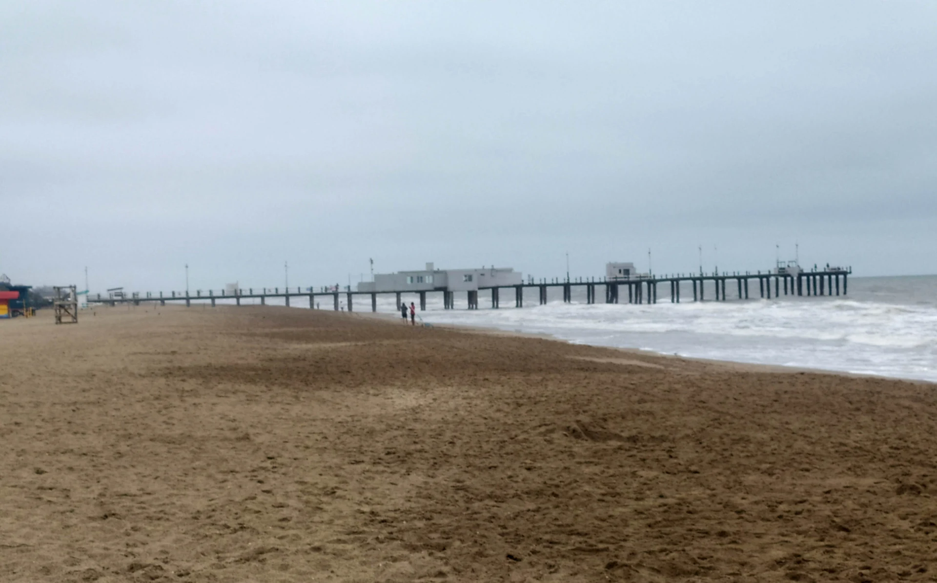
The beach and fishing pier in Pinamar, photographed in February 2025. Resized and converted to WebP. Hero photo by Fernando Martello, CC BY-SA 4.0 (opens in a new tab), from Wikimedia Commons (opens in a new tab).
Map data © OpenStreetMap contributors, ODbL (opens in a new tab).