

Luján de Cuyo relocation guide
Where to Live in Luján de Cuyo | Ciudad Map
Ciudad is one part of the wider municipality. Use full addresses and everyday destinations rather than assuming every Luján property is in the city district.
On this page
The short answer
The municipality's Ciudad map supplies a district outline and green spaces. San Martín links Ciudad with Mayor Drummond and Carrodilla to the north. The selected apartment and Taboada school address provide separate starting points for a home search. The guide leaves neighborhoods unranked.
- The outline shows Ciudad district, not the whole municipality.
- Repeated barrio parcel records are not complete neighborhood borders.
- Compare actual homes and everyday journeys.
Choose the address around the journey
Explore Ciudad and nearby roads
The map shows the municipal Ciudad outline and green spaces, with OpenStreetMap roads and water features for context. It has no neighborhood borders, commercial pins or current bus routes. The municipal source has repeated parcel records that are not complete neighborhood outlines.4,
Specific references for a home search
| Reference | Published detail | What to check |
|---|---|---|
| Moreno / Adolfo Calle | De Lucía 4108, body identifies Moreno 682 | Exact unit, rental status, entrance and daily journeys. |
| Taboada 744 | Santa Teresita secondary campus | Admission, hours and actual school journey. |
| Plaza Departamental San Martín | Municipal green space and advertised Saturday fair | Next trading day and the actual approach. |
| Quintana and Acceso Sur | Hospital de Luján department service | Appointment location, transport, documents and payment. |
Population and rankings
The 2022 municipality population is 175,056. It is wider than the Ciudad district. Undated population figures on the district page and KML are not used as a current city count. No comparable neighborhood safety measurements were obtained for this guide.1,
Questions people ask
Does the outline cover all of Luján de Cuyo?
No. It is the municipal Ciudad district outline. The municipality also contains other districts.
Does the map draw neighborhood borders?
No. The municipal map contains repeated parcel records rather than complete neighborhood boundaries. Those records are excluded.
Which neighborhood is safest?
This guide has no comparable current neighborhood crime measurements and does not rank safety. Inspect the exact street and journeys you would use.
How can I check whether a home is in Ciudad?
Check the full address with the agency and compare it with the municipal Ciudad district outline. Luján de Cuyo municipality includes other districts.
Plan your move
Get a free relocation plan for Luján de Cuyo.
Answer three questions and get your tasks in order, ready to print or save.
- Answer three questions
- Get your tasks in order
- Print it or save it
Our packages are available for moves to Santiago today. For other cities, we confirm providers, requirements, and fees before you pay.
Sources and how we check them
Sources and how we check them10 sources
Every figure on this page comes from the official or primary source listed here. We checked them in . Rules and prices change, so confirm anything important with the source before you act on it.
- INDEC Census 2022, local governments (opens in a new tab)
- Hospital de Luján, appointments and hours (opens in a new tab)
- Luján de Cuyo municipal tourism (opens in a new tab)
- OpenStreetMap roads and water features (opens in a new tab)
- Municipality, Ciudad district (opens in a new tab)
- Luján de Cuyo municipal services (opens in a new tab)
- Municipal Ciudad district map (opens in a new tab)
- National Georef geographic identities (opens in a new tab)
- De Lucía, rental advertisement 4108 (opens in a new tab)
- MendoTran school directory, Santa Teresita de Lisieux (opens in a new tab)
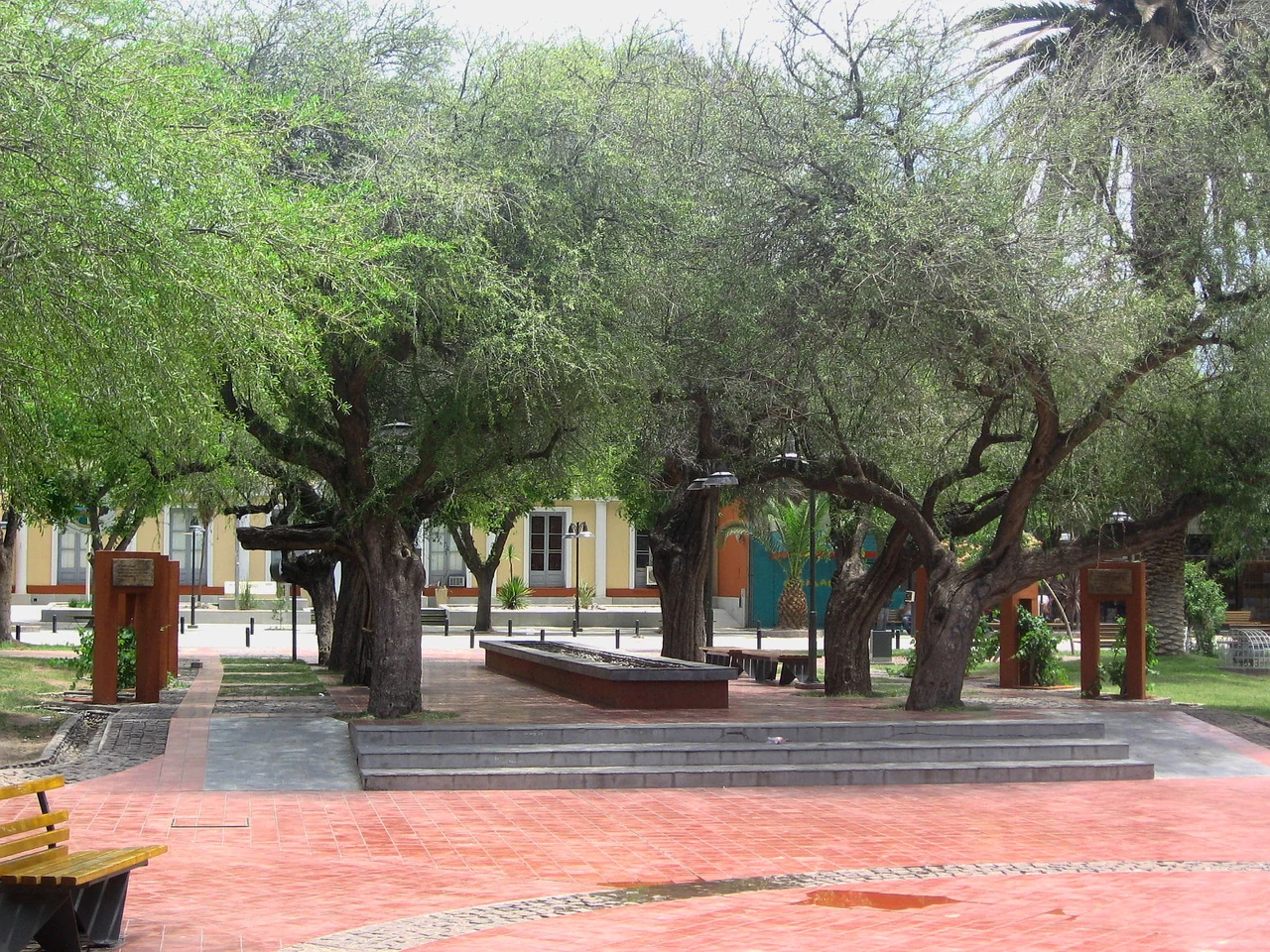
Plaza de Luján de Cuyo, photographed in December 2011. Resized and converted to WebP. Hero photo by Silviaanac, CC BY-SA 4.0 (opens in a new tab), from Wikimedia Commons (opens in a new tab).